 NSW Geoscience Metadata
Keyword
DEM
Type of resources
Topics
Keywords
Contact for the resource
Provided by
Years
status
From
1
-
2
/
2
-
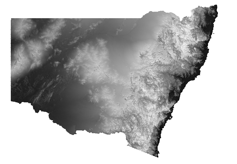
Elevation is a greyscale layer with a histogram-equalised colour stretch. Cooler colours indicate lower values and warmer colours represent increasingly higher elevation. Elevation is derived from 5 metre LiDAR coverage of NSW and has been resampled to a uniform 25 metre grid cell size.
-

Elevation is a pseudocolour layer with a histogram-equalised colour stretch. Cooler colours indicate lower values and warmer colours represent increasingly higher elevation. Elevation is derived from 5 metre LiDAR coverage of NSW and has been resampled to a uniform 25 metre grid cell size.